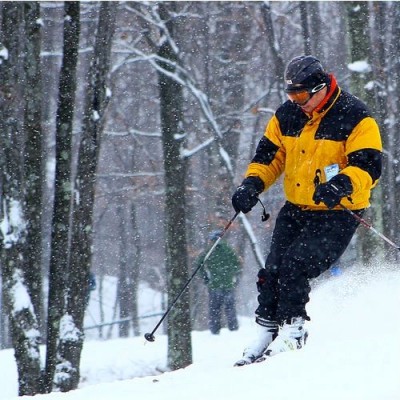
John Ghiorse: Up to a Foot of Snow May Hit Worcester


Monday, February 08, 2016
John Ghiorse, GoLocalWorcester Meteorologist
 Here we go again. Another large ocean storm is moving up the coast and will likely take a track just far enough away from us to put us on the western edge of the heavy snow shield. As a forecaster that makes me very nervous since a small shift one way or the other can make a big difference in the eventual snow accumulation we end up with. A shift 50 miles to the east can mean a very light snowfall; shift 50 miles west and we get a lot more.
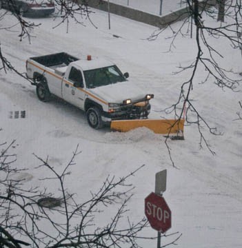
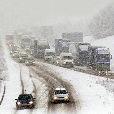
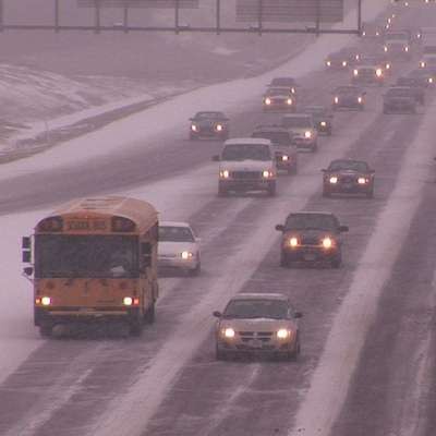
Right now it looks like the snow should begin within an hour or two of day break tomorrow and will likely get heavier during the morning and afternoon. Travel conditions should deteriorate rapidly as the snow intensifies. Strong, gusty northeast winds will cause much blowing and drifting. The heaviest snow should wind down tomorrow evening but snow showers will probably persist through the night.
My best estimate of snowfall accumulations is for a foot or more over Eastern Massachusetts, The Cape and Islands. Look for 6"-12" in Rhode Island, the Worcester area and Eastern Connecticut. This is my best evaluation now, but could well be adjusted one way or the other as more data comes in later tonight.
 URGENT - WINTER WEATHER MESSAGE
NATIONAL WEATHER SERVICE TAUNTON MA
236 PM EST SUN FEB 7 2016
CENTRAL MIDDLESEX MA-WESTERN ESSEX MA-EASTERN ESSEX MA-
SOUTHERN WORCESTER MA-WESTERN NORFOLK MA-SOUTHEAST MIDDLESEX MA-
SUFFOLK MA-EASTERN NORFOLK MA-NORTHERN BRISTOL MA-
SOUTHERN BRISTOL MA-NORTHWEST PROVIDENCE RI-
SOUTHEAST PROVIDENCE RI-EASTERN KENT RI-BRISTOL RI-NEWPORT RI-
INCLUDING THE CITIES OF...FRAMINGHAM...LOWELL...LAWRENCE...
GLOUCESTER...MILFORD...WORCESTER...FOXBORO...NORWOOD...
CAMBRIDGE...BOSTON...QUINCY...TAUNTON...FALL RIVER...
NEW BEDFORD...FOSTER...SMITHFIELD...PROVIDENCE...WARWICK...
BRISTOL...NEWPORT
236 PM EST SUN FEB 7 2016
...WINTER STORM WARNING IN EFFECT FROM 4 AM MONDAY TO 7 AM EST
TUESDAY...
THE NATIONAL WEATHER SERVICE IN TAUNTON HAS ISSUED A WINTER STORM
WARNING FOR HEAVY SNOW...WHICH IS IN EFFECT FROM 4 AM MONDAY TO 7
AM EST TUESDAY. THE WINTER STORM WATCH IS NO LONGER IN EFFECT.
* LOCATIONS...THE GREATER BOSTON AREA...NORTH SHORE...WESTWARD TO
WORCESTER AND SOUTH INTO NORTHEAST CONNECTICUT...ALL OF RHODE
ISLAND AND ADJACENT EASTERN MASSACHUSETTS. THIS INCLUDES THE
CITIES AND TOWNS OF FRAMINGHAM...LOWELL...LAWRENCE...
GLOUCESTER...FOXBORO...NORWOOD...CAMBRIDGE...QUINCY...
TAUNTON...FALL RIVER...NEW BEDFORD...FOSTER...SMITHFIELD...
PROVIDENCE...WARWICK...BRISTOL AND NEWPORT.
* HAZARD TYPES...HEAVY SNOW.
* ACCUMULATIONS...SNOW ACCUMULATION OF 6 TO 10 INCHES.
* TIMING...SNOW OVERSPREADS THE AREA MONDAY MORNING 4 AM TO 7 AM
THEN BECOMES HEAVY AT TIMES AFTER 8 AM AND CONTINUES INTO THE
EARLY AFTERNOON. SNOW INTENSITY BEGINS TO DIMINISH BY MID
AFTERNOON.
* IMPACTS...TRAVEL WILL BE SLOW AT BEST ON WELL TREATED
SURFACES...AND QUITE DIFFICULT ON ANY UNPLOWED OR UNTREATED
SURFACES.
* WINDS...NORTH 15 TO 25 MPH WITH GUSTS UP TO 40 MPH.
* VISIBILITIES...ONE QUARTER MILE OR LESS AT TIMES.
PRECAUTIONARY/PREPAREDNESS ACTIONS...
A WINTER STORM WARNING IS ISSUED WHEN AN AVERAGE OF 6 OR MORE
INCHES OF SNOW IS EXPECTED IN A 12 HOUR PERIOD...OR FOR 8 OR MORE
INCHES IN A 24 HOUR PERIOD. TRAVEL WILL BE SLOW AT BEST ON WELL
TREATED SURFACES...AND QUITE DIFFICULT ON ANY UNPLOWED OR
UNTREATED SURFACES.


_400_399_90.jpg)


 Delivered Free Every
